Storms that hit metro Detroit this evening sent lightning cracking to the ground and caused street flooding in Wayne County, snarling drivers at the peak of rush hour.
More rain could fall Thursday before temperatures cool down this weekend.
The storms that began sweeping through the area just before 5 p.m. today flooded all the lanes of southbound M-39 near Grand River Avenue, according to the Michigan Department of Transportation in Metro Detroit.
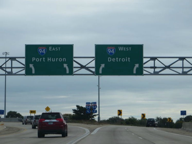
The agency also reported on Twitter just before 6 p.m. that there was flooding in multiple places near downtown Detroit. Impacted areas include parts of I-75 coming out of Detroit; I-94 and Livernois; I-94 and Woodward, and M-10 at the Cobo Tunnel.
The National Weather Service issued a flood advisory for Wayne County until 7:45 p.m.
“We have gotten reports of frequent cloud-to-ground lightning, but no reports of damage,” Jordan Dale, meteorologist for the National Weather Service, said.
By 5:45 p.m., 1.36 inches of rain had fallen in Bloomfield Hills.
READ MORE AT: http://www.freep.com/story/news/local/michigan/wayne/2017/08/02/flood-advisory-effect-wayne-county/534552001/