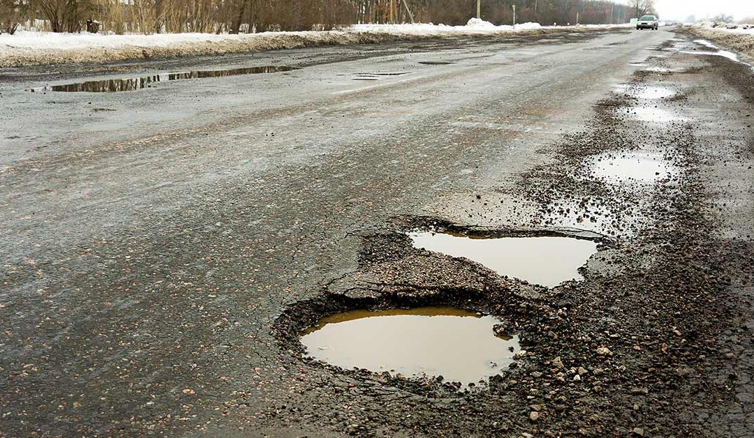
The patchwork of Michigan’s roads, bridges, water systems and more that make up the state’s infrastructure system is incredibly complex and frequently changing.
Funding, inspection and maintenance of various pieces of infrastructure comes from a wide variety of different sources at the state and federal level, which makes comprehensive, up-to-date data hard to track in some cases.
To make it easier for Michigan residents to see the status of infrastructure in their communities, MLive has put together a comprehensive map of the most recent infrastructure data available all in one place.
This map tracks the performance rating and accessibility of Michigan’s major systems of infrastructure: roads, bridges, dams, water and broadband, as rated by federal and state organizations.
Each system, with the exception of broadband, locates and rates unique entities that power our infrastructure throughout the state. The broadband map uses county-by-county data from the Federal Communications Commission showing how many broadband providers county residents have access to.
READ MORE AT: https://www.mlive.com/news/index.ssf/2018/06/mapping_michigans_infrastructu.html

